Apple Maps Rivals AllTrails on iOS 18 With New Hiking Features in U.S.

[[{“value”:”Just months after naming AllTrails the iPhone App of the Year in 2023, Apple has added new hiking features of its own to the Maps app on iOS 18.
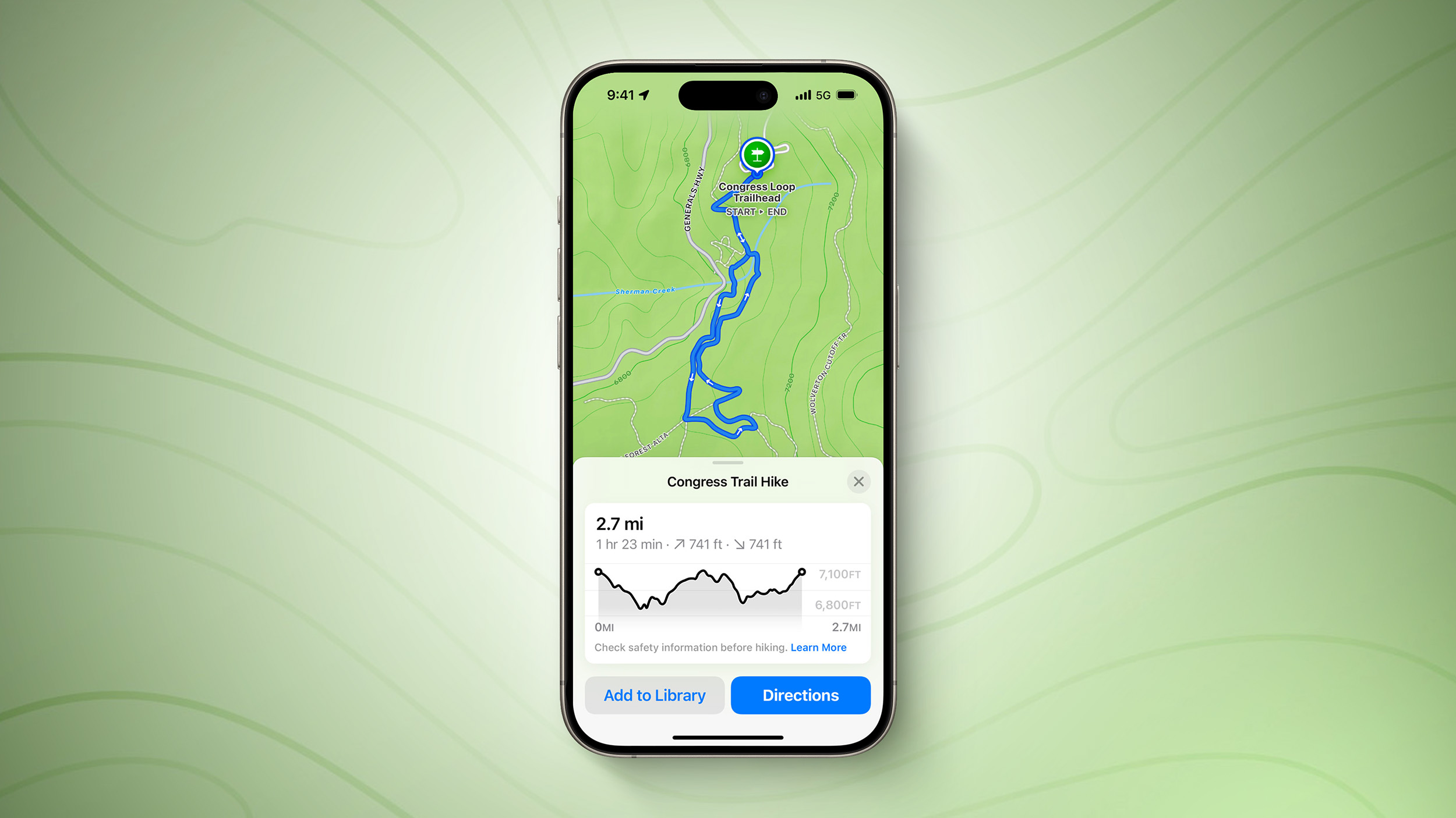
Apple Maps users in the U.S. can browse thousands of hikes across all 63 national parks in the country, filtered by length, elevation, and route type. Users can also create and save their own custom walking and hiking routes, with one-way, out-and-back, and loop routing options to choose from where available.
Apple Maps added topographic maps on the Apple Watch with watchOS 10 last year, and these maps are now available on the iPhone too with iOS 18. Topographic maps and hikes can be saved for offline access with turn-by-turn voice guidance.
These features are mostly limited to the U.S., but topographic maps are also available in Japan, according to fine print on Apple’s website.
Here is how Apple describes all of the features:Apple Maps introduces even more ways to explore the world, including hikes and custom walking routes. Users can browse thousands of hikes across national parks in the United States — filtered by length, elevation, and route type — and save them to use while offline. Users can also create their own custom walking routes with just a few taps to plan everything from a local exercise route to a full-day walking tour in a new city. Additionally, they can save their favorite national park hikes, custom walking routes, and places to an all-new Places Library, and add personal notes about them.MacRumors contributor Aaron Perris exclusively revealed that these features were coming to Apple Maps on the iPhone earlier this year.
iOS 18 is currently in beta and should be released in September.
This article, “Apple Maps Rivals AllTrails on iOS 18 With New Hiking Features in U.S.” first appeared on MacRumors.com
Discuss this article in our forums
“}]]


